This stretch was probably the closest I’ll ever come to the classic “alone in the wilderness” backpacking experiencing, with nine days of just me alone in the High Sierras.
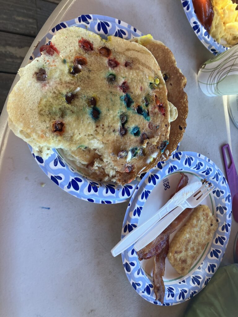
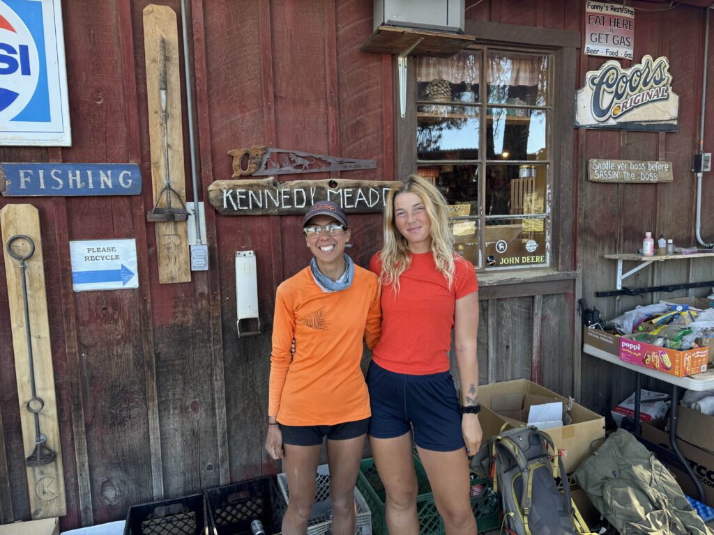
After partaking of the famous “All You Can Eat Pancake Breakfast” in Kennedy Meadows and doing a quick trail manicure, it was time to head into the mountains. I was happy for Stoplight that she got to spend the weekend with her boyfriend (and jealous that it would still be a few weeks before I got to see Ben), but sad to lose my hiking partner. Still, there were some perks. The biggest one was that they would go stash our bear canisters with our longer supply of food at a campground with bear boxes about 50 miles up trail, giving us a couple extra days with lighter packs and making it possible to cover a longer distance without going fully into a town to resupply. (The bear canisters were not required until then, Kennedy Meadows is just the most convenient place to pick them up.) They also gave me a ride to the trailhead. As they drove off and I headed back on trail alone, it didn’t feel dissimilar to Ben driving away at the border just four weeks ago.

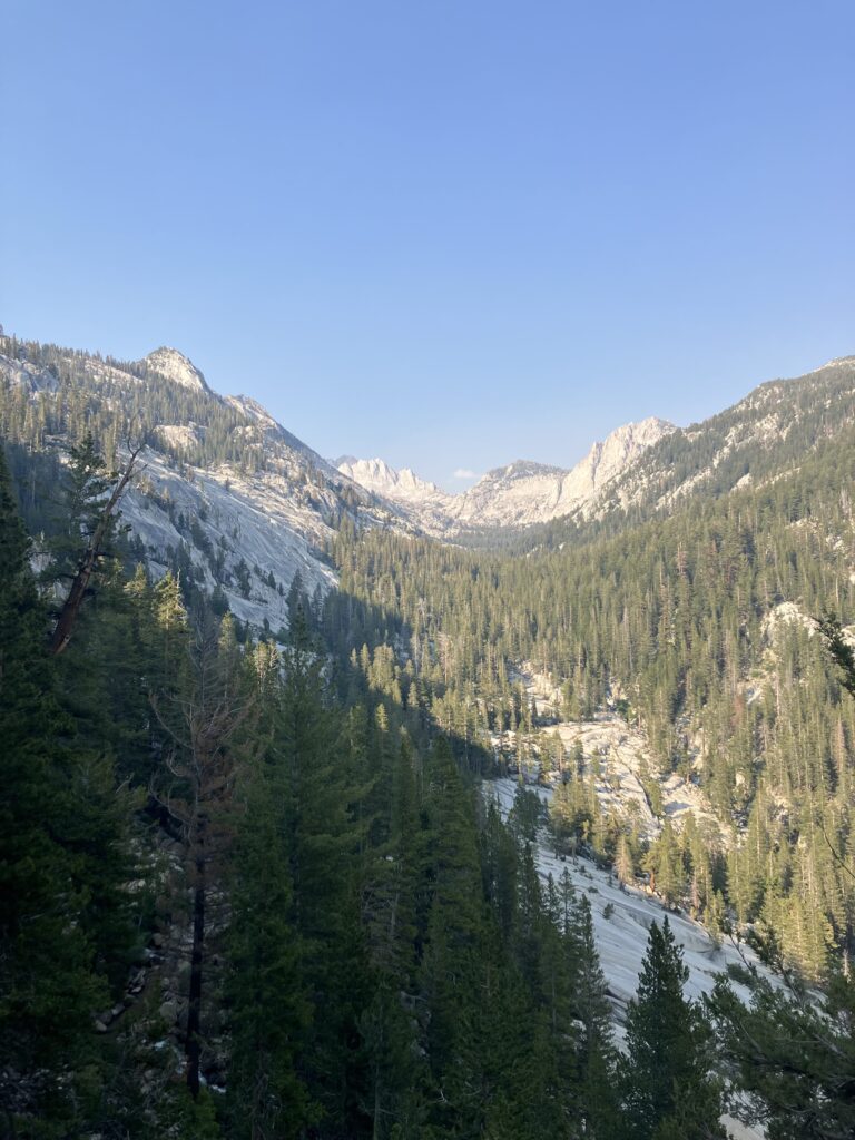
Even though Kennedy Meadows is considered the end of the desert, it was really that day after leaving it that I felt like I was really leaving the desert behind. The trail climbed slowly but steadily from 6000 feet to 10000 feet – scrubby bushes slowly became trees and desert expanses slowly became meadows. (The sand, unfortunately, would persist for a few more days.) Cooler temperatures and friendlier terrain were on the horizon.

Alas, too soon, it was time to hike the couple miles off trail to pick up my bear canister and 7 days worth of food. Many people do an additional resupply stop midway through this section. However, it involves an eight mile hike off trail to a long hitchhike down a remote mountain road, and I had, perhaps irrationally, decided that I really didn’t want to do this. So I opted for the long haul instead. I’m not going to lie, those first few days with the heavier pack weight and the higher altitude kicked my ass. I was marginally okay on flat and downhill, but anytime the trail started to climb, I felt like I was dying. I felt like someone who had never climbed a flight of stairs, not like someone who had been hiking for 750 miles.
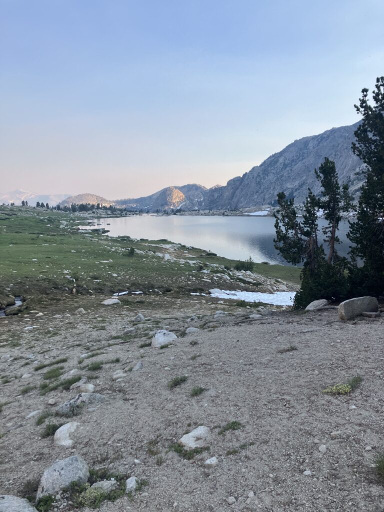
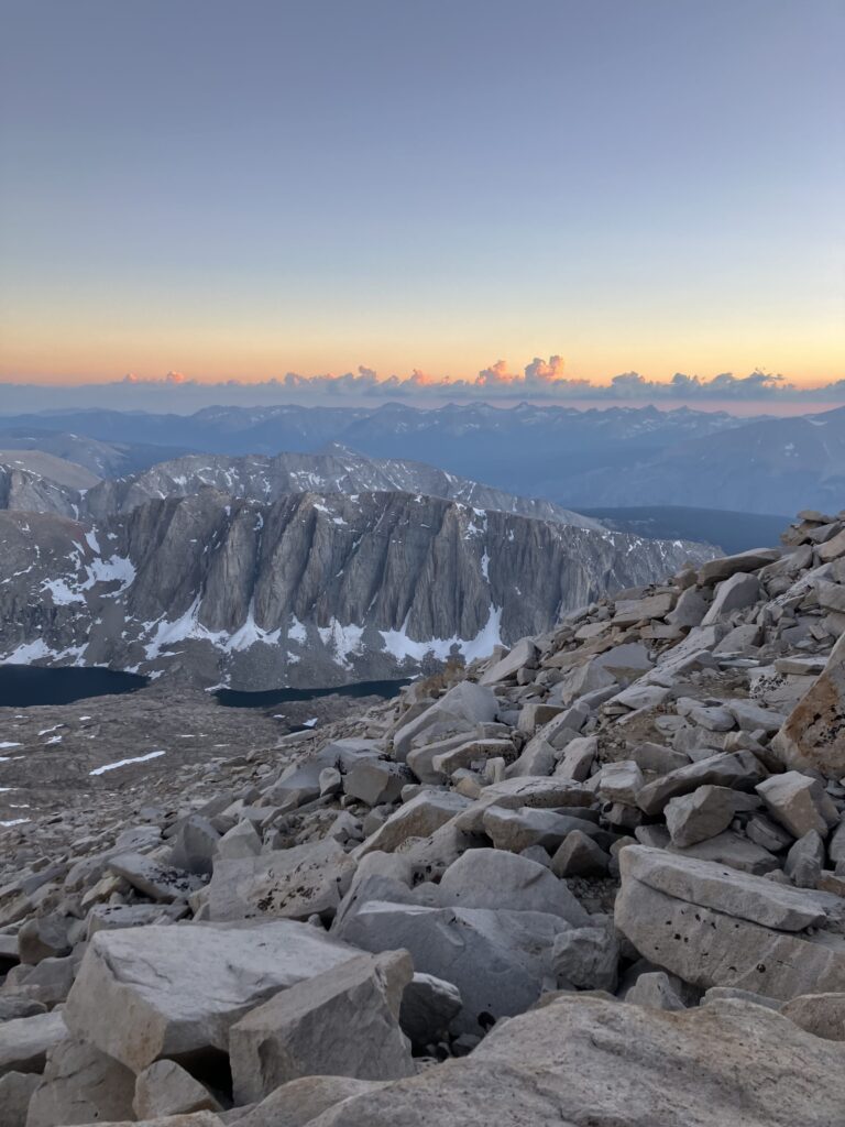
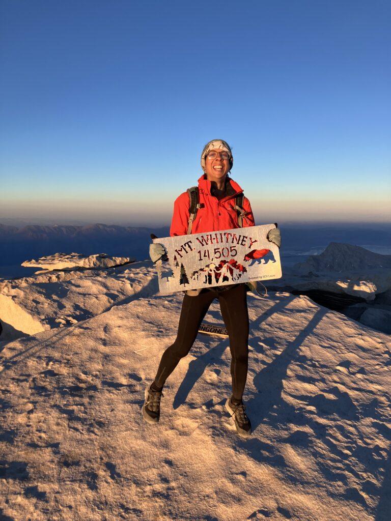
After picking up my canister, I managed to climb back up to the trail and hike a few more miles. I set myself up for a half day the next day to Crabtree Meadows, AKA Whitney Base Camp for PCT hikers. Under our permit, we are allowed to day hike to Mount Whitney, the highest peak in California and in the continental US, camping no closer than Crabtree Meadows, which is 7.5 miles from the summit. Altogether, this is a 17 mile side trip and I had originally been on the fence about doing it. Ultimately though, it seemed like a ridiculous opportunity to pass up, and even though it is not technically on the trail, almost all hikers do it and it is as much a part of the PCT experience as any trail miles. The most popular option is a sunrise summit, but I didn’t really feel like waking up at 1am and hiking the mountain in the dark, so I opted for the sunset summit instead. The nice thing about having a base camp was that I didn’t have to carry all of my things up, just the food, water, and layers needed for the climb. Even with a lighter pack though, it was not an easy hike. The trail meandered back through alpine lakes, until finally reaching the head wall and climbing approximately one million switchbacks up to 14500 feet. Ultimately, the weather and views were lovely, and it was a quiet summit, with just a few other thru-hikers there.

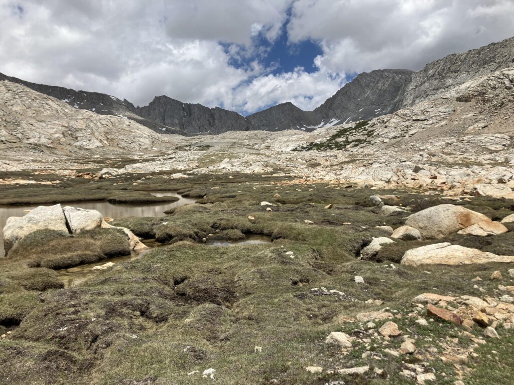
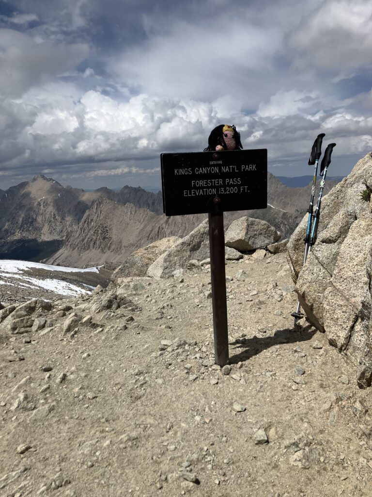
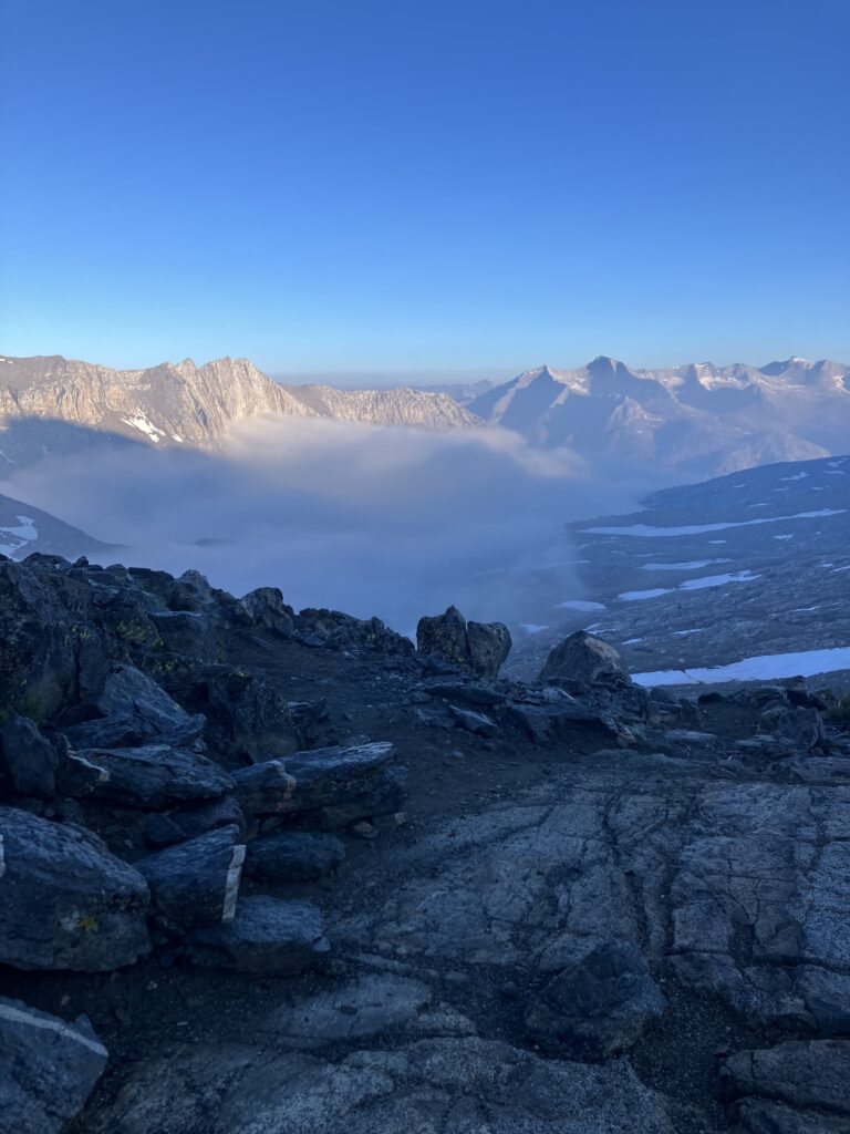
The next day was perhaps the real trial, going through our first, and highest, mountain pass. While the Appalachian Trail always seemed happy to send you over every mountain summit in the vicinity, the PCT largely sends you across the saddles between peaks. Forrester Pass, at 13200 feet, is the highest point on the actual trail. I’m not sure if it is actually one of the steeper passes, or if the altitude just made it seem particularly challenging, but eventually I made it over. One nice thing about starting later is that at this point there is limited snow left on the trail. Hikers earlier in the season (or in higher snow fall years) have that extra challenge to contend with.
The next day, I had the ambitious goal to make it over two passes. The first went fine, but in the afternoon the Sierras revealed other plans. Around 2pm, a thunderstorm started. I knew these afternoon storms happened and at first kept hiking, thinking it would blow through quickly. However, it soon became apparent that this was not the case. I managed to find a place to throw up my tent amidst the hail and threw myself and all my things into it. Apparently in it for the long haul, I changed into dry clothes, got out my sleeping bag, and took a nap. The storm finally passed around 6:30pm and I willed myself to pack up all my wet things and hike a few more miles, getting myself a bit closer to the next pass for the morning.
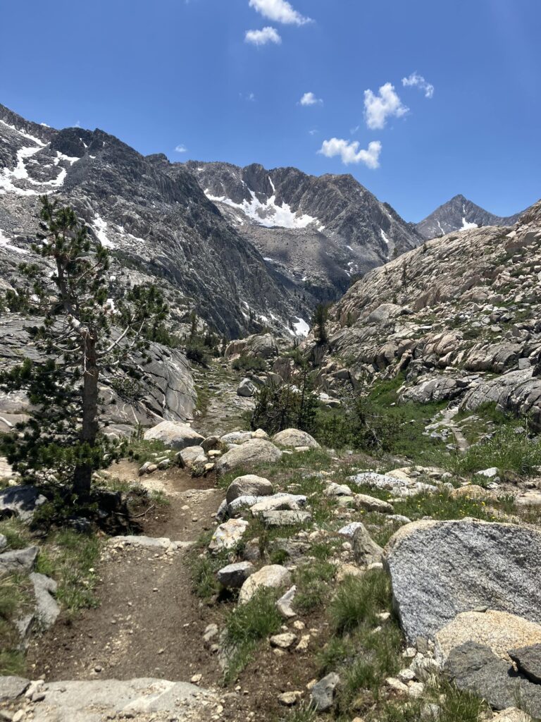
While that turned out to be the last storm I had in that section, for the next days I did a better job of setting myself up to do passes in the morning and getting up early to get over them, so that I hopefully wouldn’t get stuck again. As my pack got lighter, the passes got lower, and I maybe acclimated somewhat to the altitude, hiking started feeling a bit more normal again, though Sierra miles were certainly still generally slower and harder than desert miles.
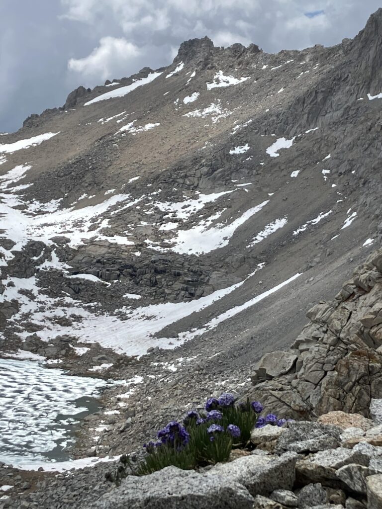
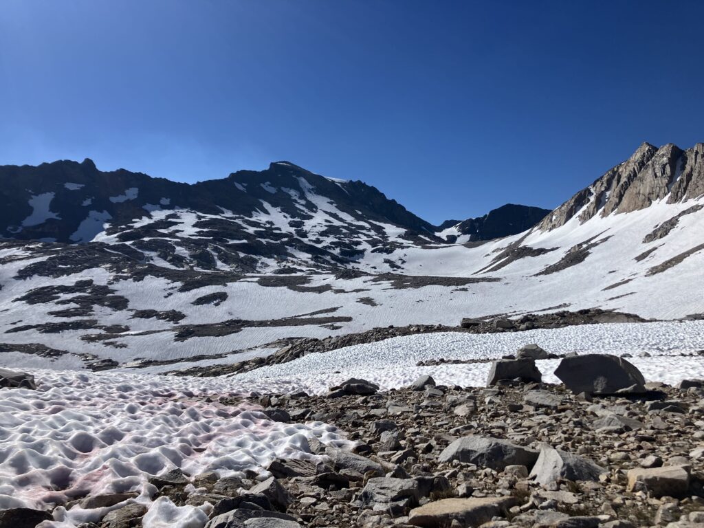
On day 34, I learned that it was not back to cruising just yet, with two sections that took far longer that mileage would indicate. The first, in the morning, was Muir Pass, our snowiest pass. The main issue was that I kept losing the trail and wandering around trying to find it again. As the snow melts, the way up the passes is no longer fully on snow fields, but the snow field sections no longer necessarily line up in a logical way, with each other or with the trail. Beyond the snow and my poor way finding abilities, this pass also just seemed to go on forever. It would seem I am not quite ready to be a mountaineer yet.
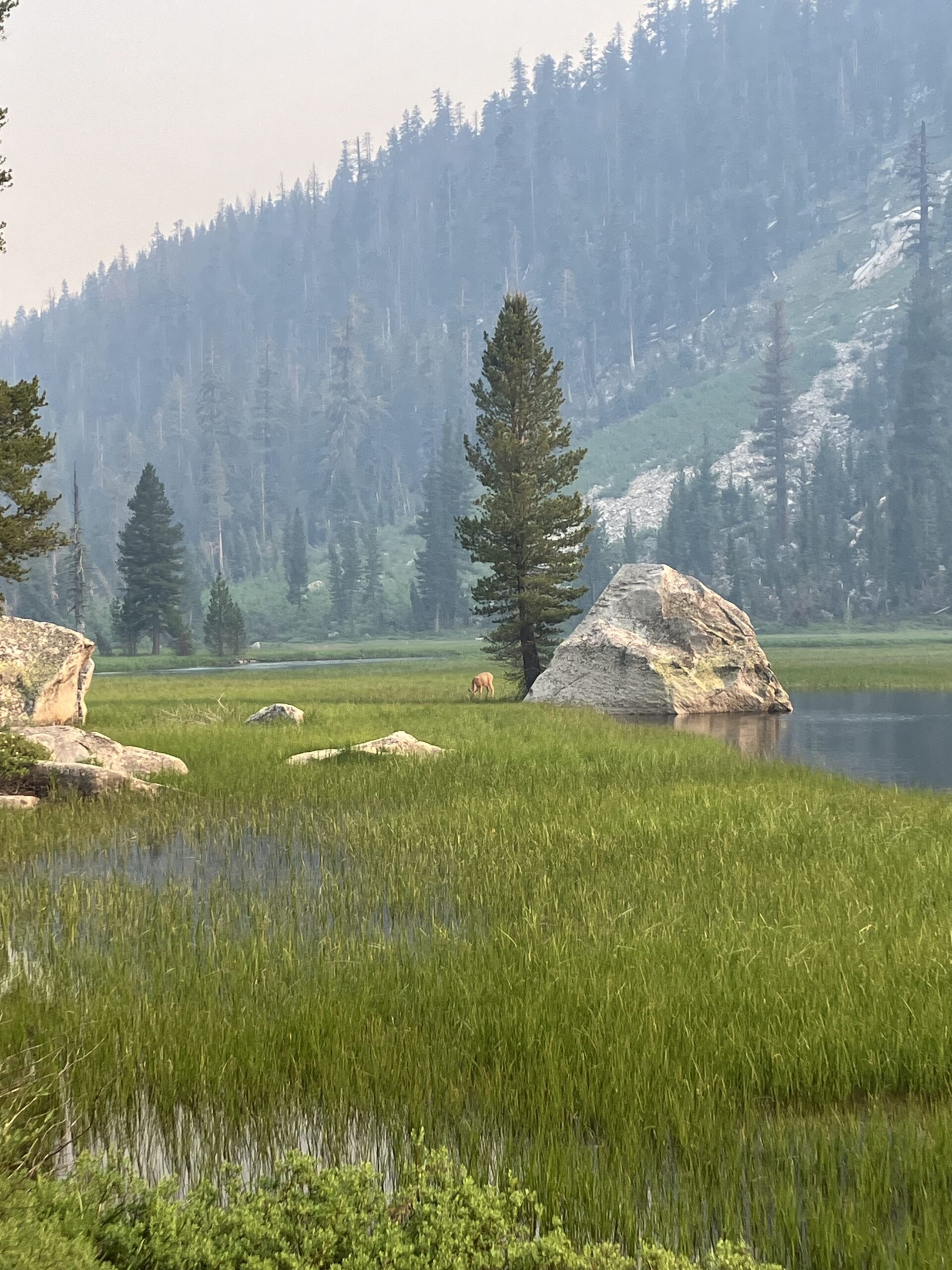
In the afternoon, a challenge presented itself in the form of a destroyed bridge across a major river crossing. When I’d left Kennedy Meadows, fording the river was still considered impossible. By the time I got there, I talked to a lot of southbound John Muir Trail hikers and it seemed that fording was now possible, but extremely challenging, with about half of hikers managing it. The other half did an “up and over” bushwhack detour to go around that section of trail. I had hoped to find a group to do either of these options with, but as luck would have it, I did not see a single other PCT hiker that day. Given that I was alone, I opted not to risk the ford, and followed the rough detour trail instead. This was a fun adventure, but also took quite a while, given the rugged nature. I finished the day well exhausted.
The next couple days were relatively chill, all things considered, and I made my way to my first real town, and first bed, in just over two weeks. Next up is Yosemite, by all accounts another great section of trail!